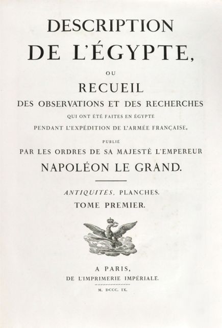
DESCRIPTION DE L'EGYPTE, ou recueil des Observations et des Recherches qui ont été faites en Egypte pendant l'Expedition de l'Armie Française, publié par les ordres de sa Majesté l'Empereur Napoleon le Grand
.
Paris. L'Imprimerie Imperiale & L'Imprimerie Royale. 1809–1813
Sold
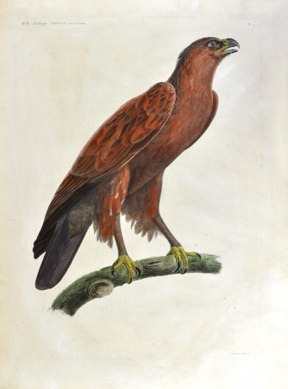
First edition, the de luxe issue with the plates of birds coloured by hand.
The first comprehensive description of ancient and modern Egypt, and the outstanding achievement of the savants who accompanied Napoleon’s expedition to Egypt (1798-1801).
'Edition originale de ce magnifique ouvrage, éxecuté aux frais de l'Etat.' (Brunet).
The work is the greatest of a number of outstanding scientific publications by the French government detailing the results of exploration, unequalled by any other nation during the same period.
The only flaw in Napoleon’s preparations for the invasion of Egypt was a miscalculation as to Turkish reaction at France’s unsolicited ‘help’ in dealing with its mostly unruly vassals, the Mamluks of Egypt. Had it not been for this, Napoleon’s plan for following up military conquest by revolutionising the economy and institutions of Egypt might well have created a modern European-style state, controlled by France, at the axis of all the trade routes between Europe, India and the East. Plans to this end involved nearly 500 civilians, the cream of whom were about 150 men drawn from the Institut de France. Once in Egypt their first task was to make a thorough survey of every aspect of the country to assist the planner of its future shape, and this was extended to include Antiquities. The work was co-ordinated by L’Institut de l’Egypte (later replaced by the Commission des Sciences et Arts d'Egypte), founded in the appropriated house of Hassan Kachef (illustrated in the plates to the Etat Moderne), with Gaspar Monge as president.
As early as October 1798 Fourier was entrusted with the task of uniting the reports of the various disciplines with a view to publication. Following the capitulation of the army to Egypt under General Menou (a convert to Islam), the savants returned to France where a commission was set up for the editing and supervision of the work.The first volumes were published by the government under Napoleon, with his support, and it is a measure of how important this work was considered to be that it was continued even under the Bourbon restoration.
' ... never before or since has a study of such scope and thoroughness been accomplished on the basis of field work carried out in so short a space of time and under such inadequate and harrowing circumstances.' (J. C. Herold, Bonaparte in Egypt, 1963).
The work divides into Antiquités, Etat Moderne, Histoire Naturelle, and Cartes Geographiques et Topographiques as follows:
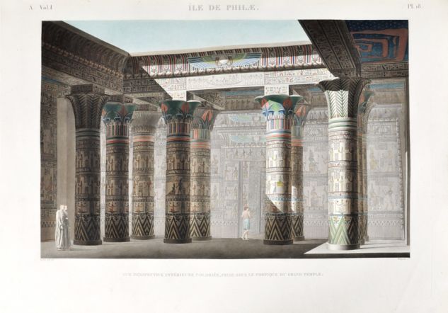
ANTIQUITES describes not only the ruins, but also the objects excavated including the Rosetta Stone, here described for the first time. The quality of the plates was much enhanced by the use of an engraving machine invented by Conte, which is itself illustrated among the plates: 5 vols.: (I). Engraved frontispiece, map, 99 plates numbered 1 - 97 (plates 79 and 87 each in two states) + 1 unnumbered plate, (4 hand-coloured); (II). 92 plates numbered 1 - 92 (22 hand-coloured); (III). 69 plates numbered 1 - 69 (1 plate hand-coloured and 2 in bistre); (IV). 72 plates numbered 1 - 72 + 2 plates lettered e & f (1 plate hand-coloured); (V). 89 plates numbered 1 - 89.
ETAT MODERNE describes the architecture of Egypt subsequent to the Arab invasion in the seventh century, particularly Cairo, as well as sections on Art et Métiers, Costumes et Portraits, Vases, Meubles et Instruments, Inscriptions, Monnaies et Médailles: 2 vols.: (I). Engraved map, 83 plates numbered 1 - 83; (II). 22 plates numbered 84 - 105 + 31 plates numbered I - XXXI + 11 plates lettered A - K + 9 plates lettered AA - II + 4 plates lettered KK - NN + 9 plates lettered a - i + 1 plate lettered k (JJ and j not used).
HISTOIRE NATURELLE comprises geology and physical geography, mammals, including birds, flora etc. Amongst the artists who contributed to this section are Barraband, Bessa, Redoute, and Turpin: 3 vols. in 2: (I). 62 plates (14 hand-coloured); (II). 105 plates; (II bis). 77 plates (13 coloured).
CARTES GEOGRAPHIQUES ET TOPOGRAPHIQUES. The origin of this topographical survey was the inadequacy of D’Anville’s map, dating from 1765. This new survey included not only Egypt, but Sinai, Palestine and much of modern Lebanon: Engraved title & 52 engraved plates.
[Brunet II, 616 - 617; Blackmer 476 (Blackmer Sale 526); Atabey 343].
21 vols.: 9 vols. 4to. (Text). + 12 vols. Folio. (Plates + Preface). The complete set of 894 plates of which 55 are hand-coloured, fully or partly (see below). Folio vols. in contemporary brown half-morocco, text vols. in matching bindings with new spines.
#41163
